-
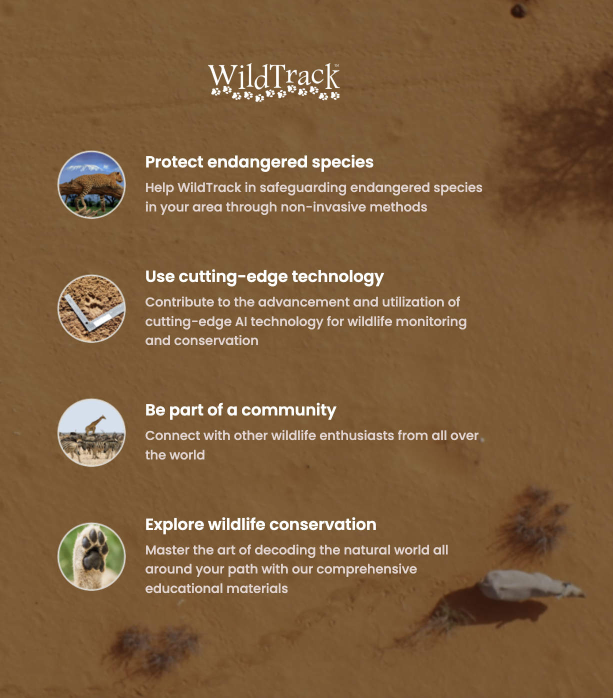
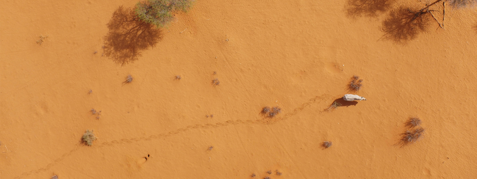 Non-Invasive
Wildlife MonitoringOne footprint at a timeWatch Introduction -
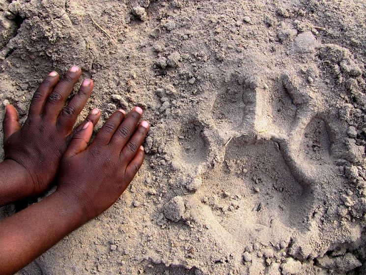
 Award-Winning TechnologyIdentifying species, individual, foot,Learn About FIT
sex, and age from footprints -
 Community-based MonitoringJoin our community and start collecting footprints!Participate Today
 -
 Partner with usMake a difference in wildlife conservationDiscover Opportunities
 -
 Engaging Traditional Ecological KnowledgeFor Wildlife ConservationLearn More
 -
 Support Our WorkA donation of any size makes a significant differenceHelp Now
About Us
Our Mission
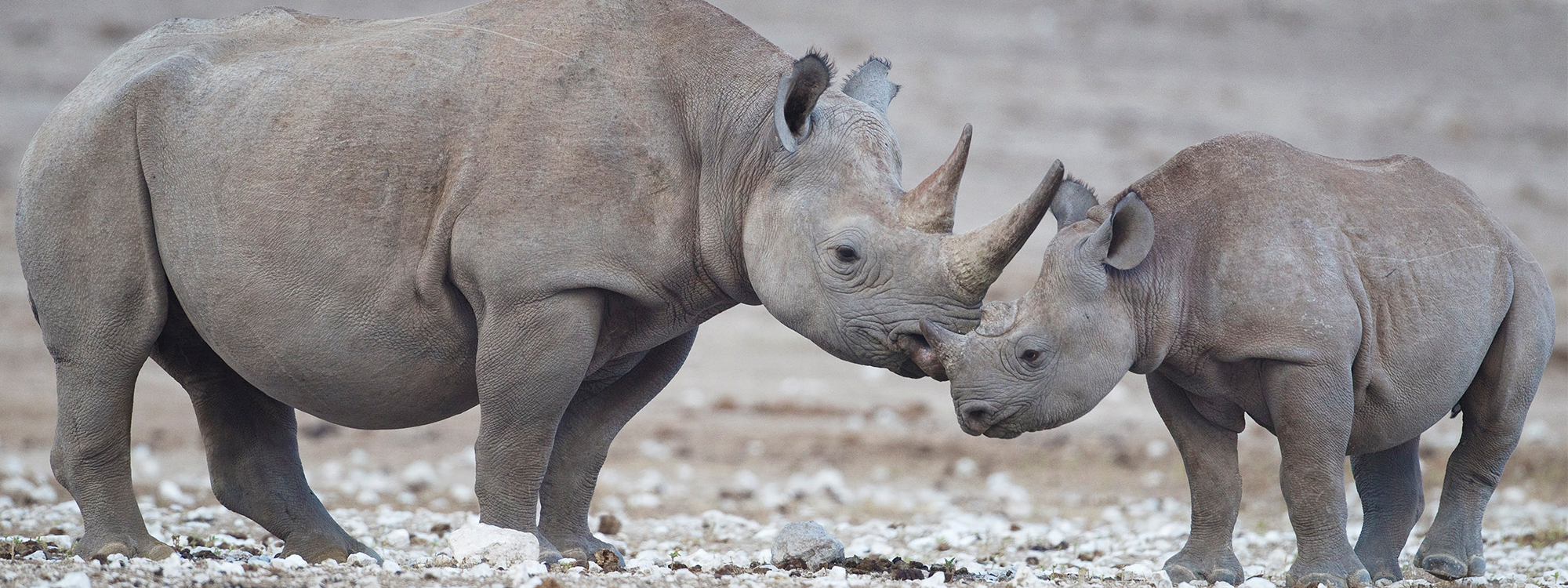
WildTrack’s mission is to protect endangered species using a unique combination of advanced data analytics, artificial intelligence, and traditional ecological knowledge.
WildTrack has developed an innovative new model to tackle the global decline in species – using footprints.
Why This Mission
The degradation of our planet and loss of biodiversity is the most significant challenge facing humanity today. With extinction rates up to 10,000 times higher than normal and over 95% of mammal biomass on Earth being made up of humans and domestic animals, we risk losing vital resources like fresh air, water and food.
WildTrack's innovative solution provides a roadmap for collecting and utilizing data from nature to address these issues and protect our planet for future generations. Join us in the fight to save biodiversity before it's too late.
WildTrack Unparalleled Nonprofit
Unique Wildlife Monitoring
We are the only wildlife conservation organization focusing solely on non-invasive and community-friendly methods.
Award Winning AI Pipeline
We have built an award-winning AI pipeline of footprints from endangered species.
The first in the world!
A Global Impact
Our technology is used in over
20 countries across
5 continents.
WildTrack by Numbers
35
Active
Field Projects
41
Species
Algorithms Developed
15
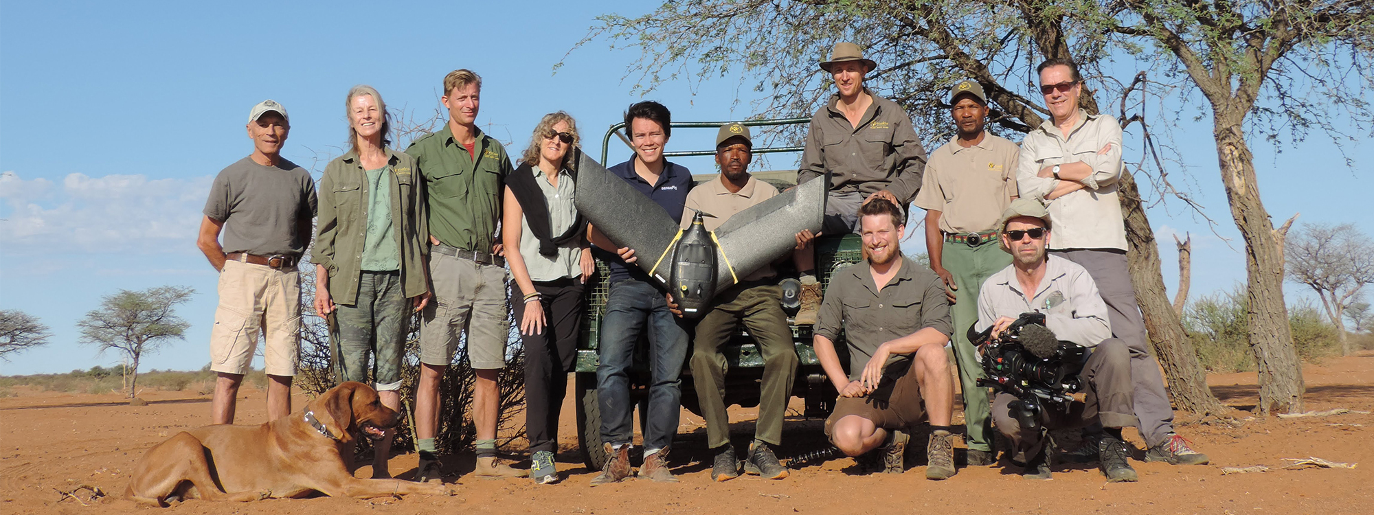
Partner
Universities
40
Volunteer
Scientists & Engineers
What Makes Us Different
Our Wildlife Conservation Model is Unique
Non-invasive methods
Technology community-accessible
Custom sustainable solutions
Comprehensive data
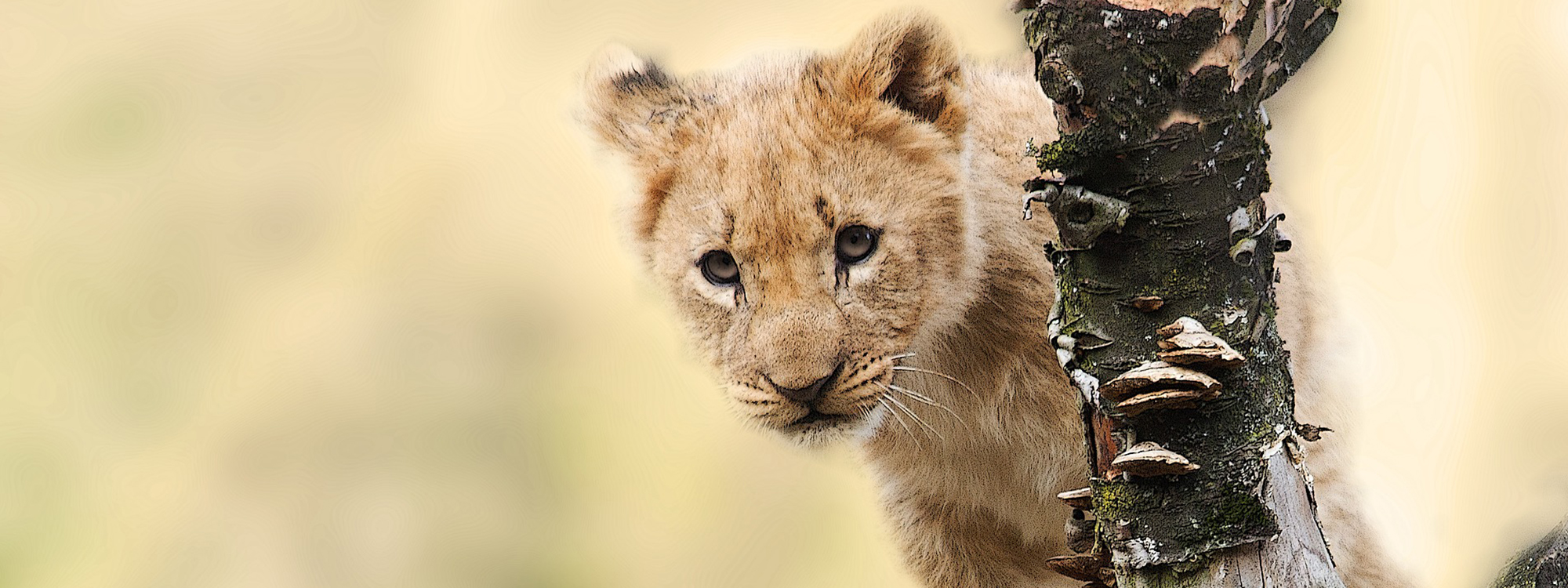
FIT in Action
Check Out Some of Our Current Projects
Our Partners
We work with a variety of partners
to achieve our mission